Sikkim himalayas
General Info
The Teesta Saga
· Zemu Glacier
· Northern Sikkim
Flora and Fauna
People
· Lanchenpas & Lanchungpas
Religion
Visual Delights

![]()
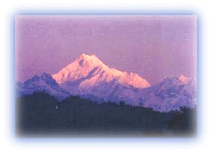
In the southwestern part of Sikkim, in the main Himalayanrange, lies the majestic Kanchendzonga (or Kanchenjunga),rising to a staggering height of 8,585 m (28,169 ft) above sealevel. It is the highest mountain in India, and the thirdhighest peak in the world. The word Dzong means a fortress, andit truly characterizes the buttresses and icy pinnacles of theKanchendzonga. The lower slopes of the mountain contain anumber of glaciers. |
Sikkim is home to other famous peaks such as Kabru, Kirat Chulior tent Peak (7,365 m) and Sinolchu (6,887 m), often describedas one of the loveliest peaks in all of the Himalayas.
 |
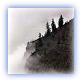
| Clouds and mist - a constant feature of the Eastern Himalayas Credit: Karamjeet Singh |
The Teesta Saga
The major river in the Sikkim Himalayas is the Teesta (orTista) River. It is one of the most turbulent rivers in theHimalayas, mainly due to the steep altitude gradient found inSikkim. The Teesta is known for its unpredictability. Till1787, this river flowed into the Ganges. However, followingsome destructive floods it changed course and now empties intothe mighty Brahmaputra river.
The Teesta, like other major Himalayan rivers, is a TransHimalayan river. It rises in the barren Chorten Nyima range.This range is home to one of the grandest lakes in theHimalayas -- the Gurudogmar Lake. Situated at an elevation of17,200 ft, it is the largest lake in Sikkim and one of thehighest high-altitude lakes in the entire Himalayas. Travelersto the region have observed that although the lake is alwayscovered with ice, one corner never freezes! This is probablydue to the presence of a subterranean conifer carrying heatedwater!
 |
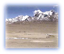
| Gurudogmar Lake at 17,200ft Credit: Karamjeet Singh |
The Teesta flows south in Sikkim and at Manang meets a majortributary from Sinolchu. Thereafter it flows southwards towardsKalimpong and the foothills.
The Teesta is also joined by the Rangit, another riveroriginating in the glaciers on the southeastern slopes of theKanchendzonga. The mountain town of Darjeeling overlooks thevalley of the Rangit.
The Teesta Valley receives heavy rainfall, even by easternHimalayan standards. Sikkim's geographic location relative tothe state of West Bengal apparently accounts for this. Within adistance of 30 km, there is a climb of 2,800 m between Siliguriand Darjeeling. As a result this part of the Himalayas receivevery heavy showers as the rain-bearing southeast monsoon windshit the mountain ranges.
 |
| Chorten Nyima Range Credit: Karamjeet Singh |
This gives rise to frequent landslides all over the SikkimHimalayas and the erosion rate in Sikkim is very high. In fact,the River Teesta and its tributaries like Rangit bring downprobably the highest sediment yield of all Himalayan rivers. Also the fact that Sikkim has been subject to large scaledeforestation has aggravated the ill effects of the heavyrainfall in the region. The rocks in the region are also knownto be fragile, consisting of sandstone, shale and quartzite.
All rights reserved
