  |
||
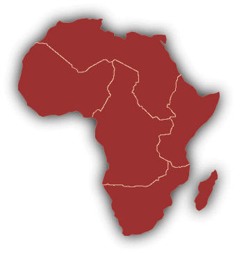
the Living Atlas The Living Atlas is a growing collection of maps of Africa. In this section, there are continent maps, along with more detailed country maps and maps of national parks and wildlife reserves. Using the maps, it is very easy to realize the vastness and the physical complexities of the African continent. Various well-known publishers have contributed their maps to this collection. We hope that this collection keeps growing with additions from more publishers and our visitors. Visitors can contribute their maps to the site by uploading them in the land section of the Living Knowledgebase.
Africa - political
Africa - population
Africa- vegetation
Horn of Africa
Country maps 
[ Western Africa - Northern Africa - Eastern Africa ] © Copyright 1998, ThinkQuest team 16645 All rights reserved. http://library.advanced.org/16645/atlas.html | ||